Public Data:...
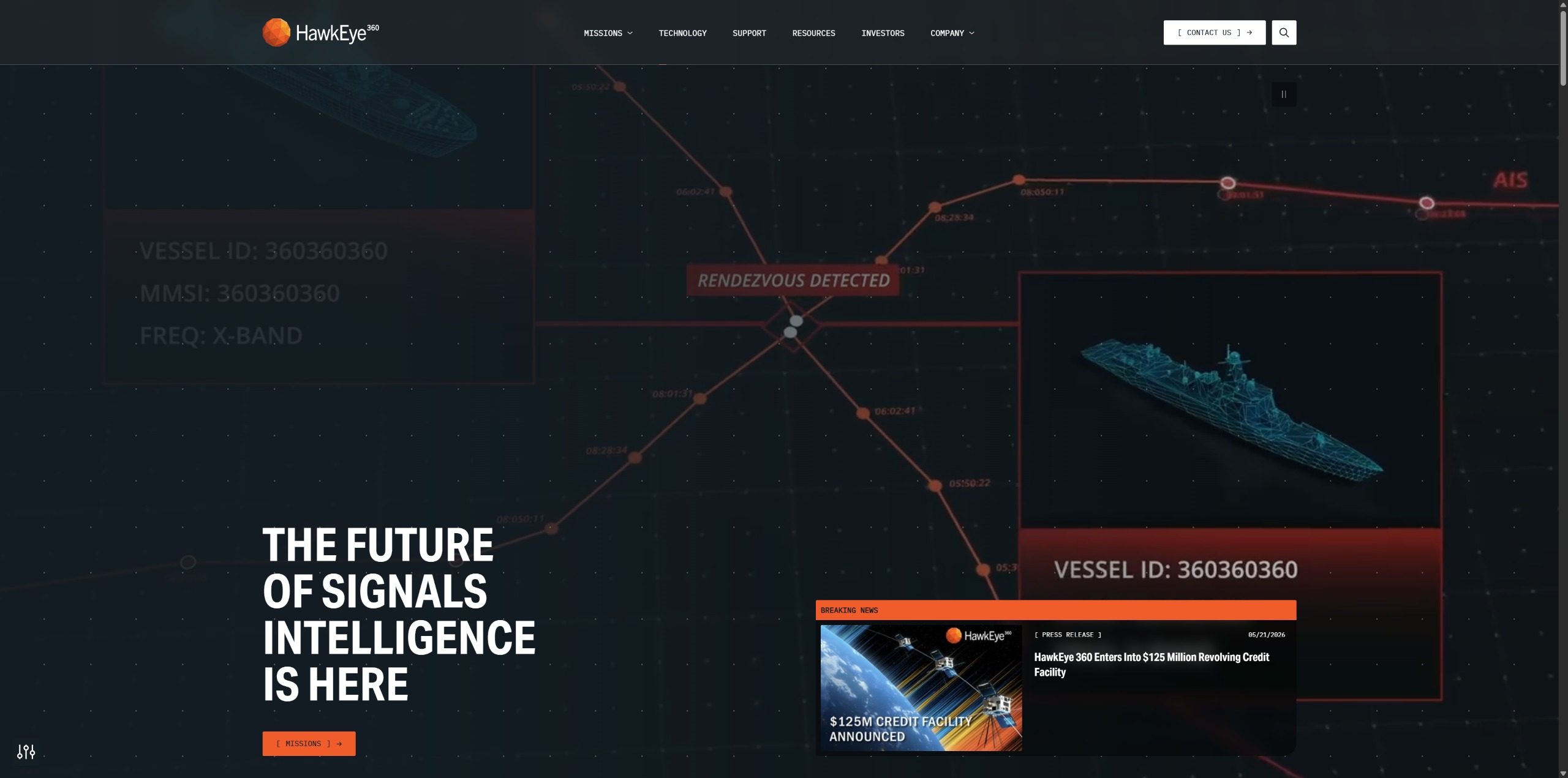
Hawkeye 360
HawkEye 360 (HE360) is a commercial signals intelligence and radio-frequency (RF) analytics company that operates a constellation of satellites in low Earth orbit to detect, identify, geolocate, and analyze radio transm…
Disclaimer
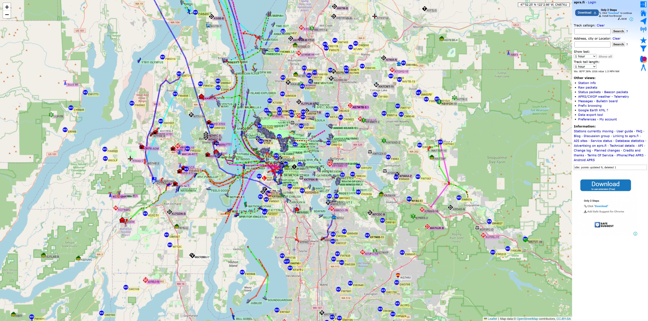
APRS.fi
APRS.fi is a real-time tracking and situational awareness platform that visualizes data from the Automatic Packet Reporting System (APRS), a global amateur radio network used to share position reports, weather observati…
Disclaimer
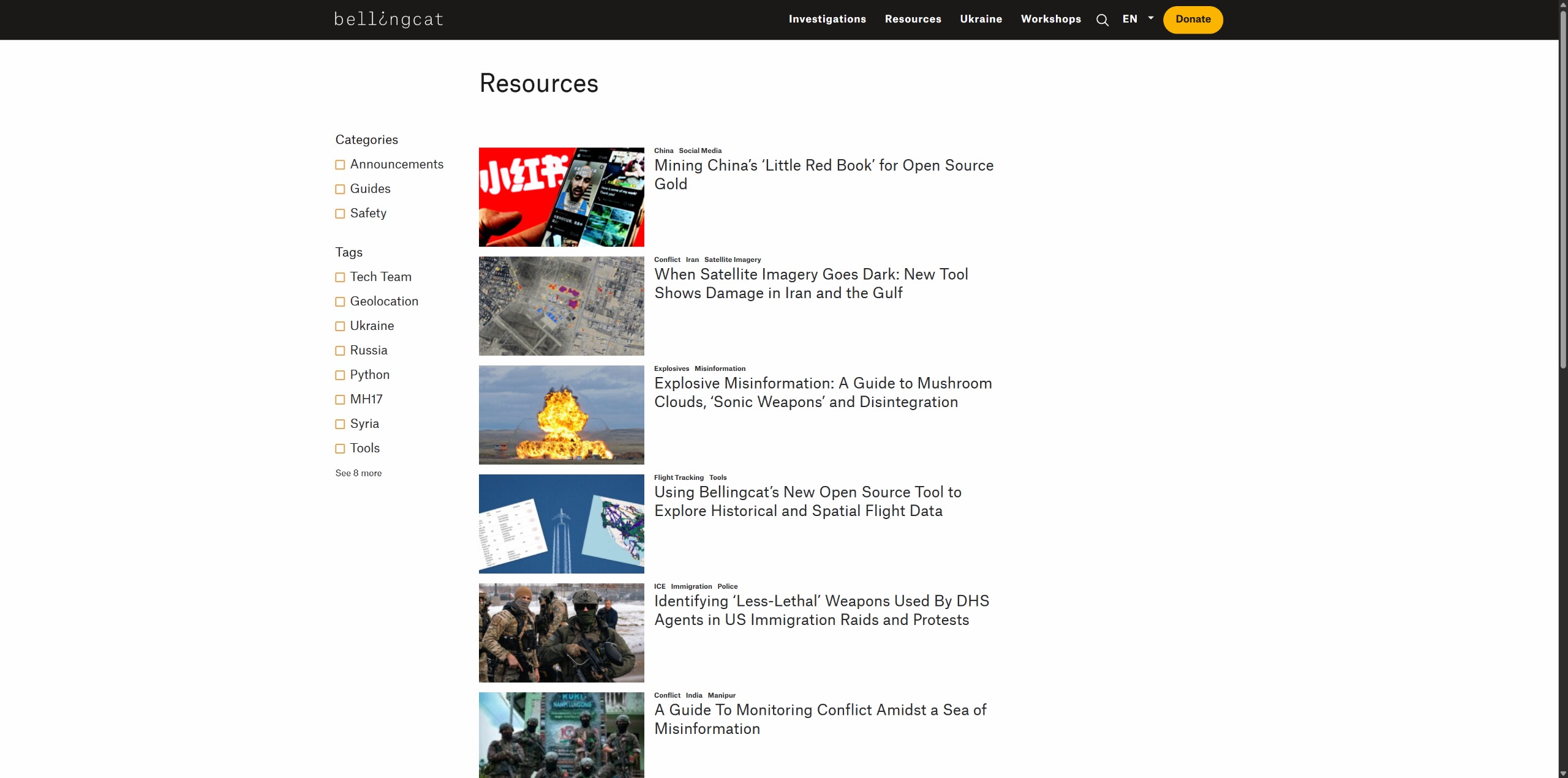
Belling Cat Resources
Bellingcat Resources is a comprehensive collection of guides, tutorials, case studies, investigative methodologies, and research tools published by Bellingcat, an organization specializing in open-source intelligence (O…
Disclaimer
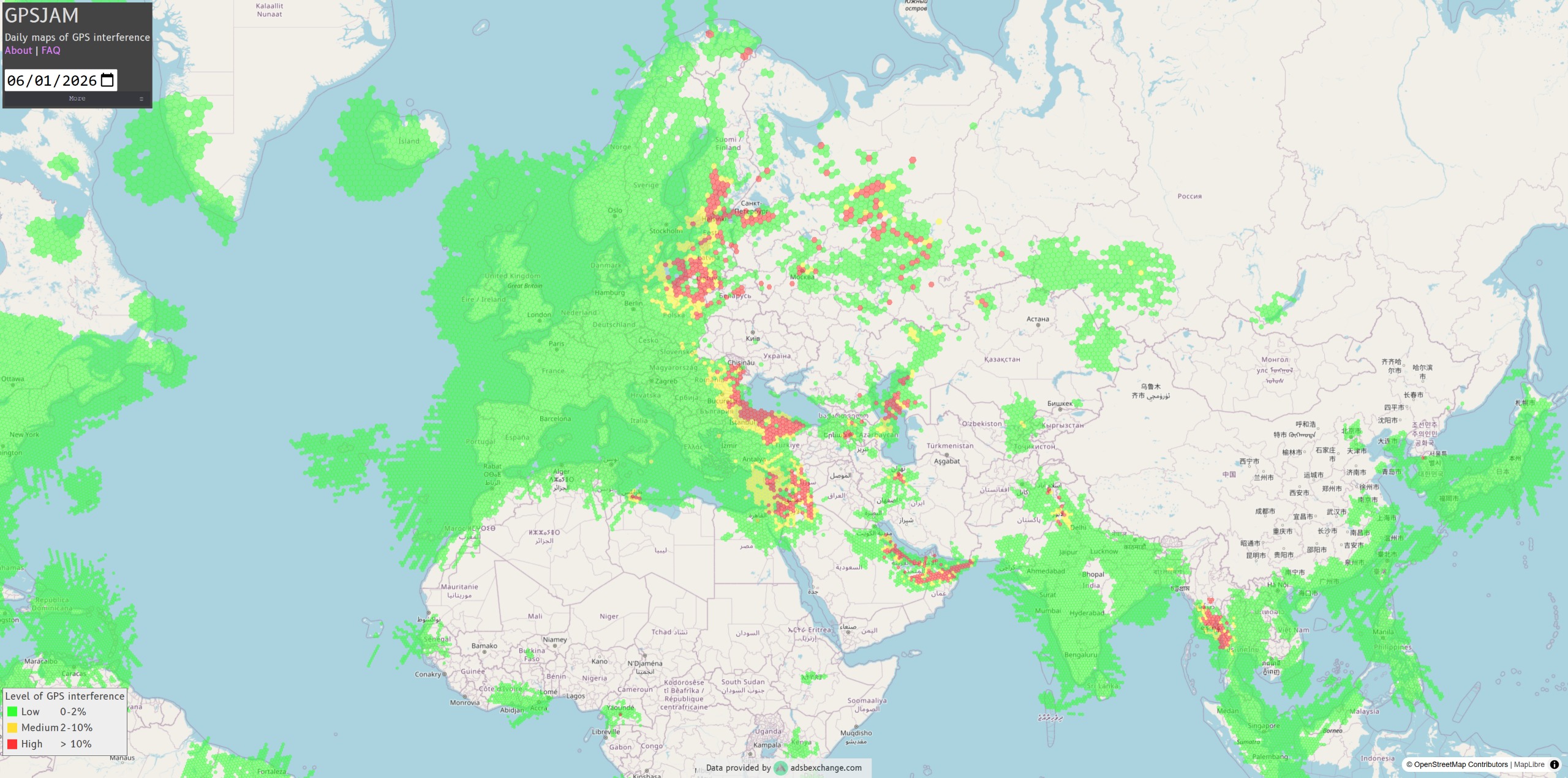
GPSJam
GPSJam is an open-source intelligence (OSINT) platform that visualizes suspected GPS and GNSS interference around the world using aircraft navigation data collected through the ADS-B aviation tracking network. The site …
Disclaimer
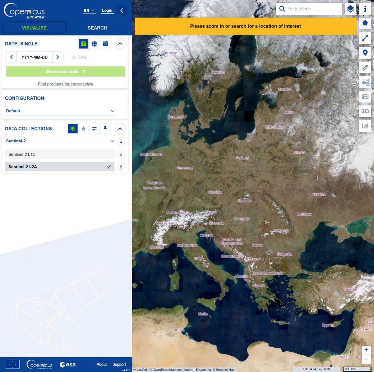
Sentinel data
Copernicus Data Space Ecosystem (CDSE) is the European Union’s primary Earth observation data platform, providing free and open access to satellite imagery, environmental datasets, and cloud-based processing tools from …
Disclaimer
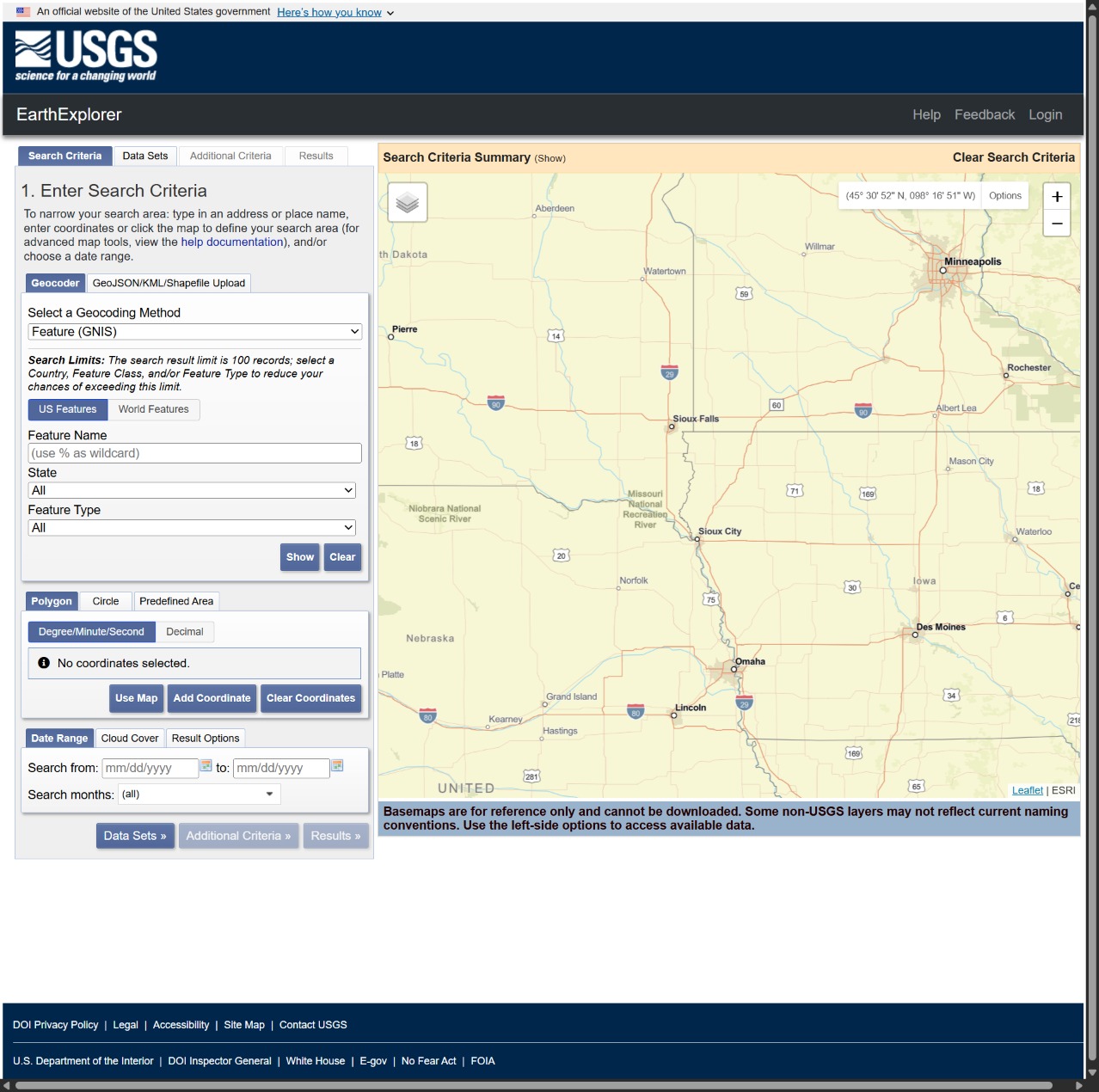
USGS EarthExplorer
USGS EarthExplorer is a web-based geospatial data portal operated by the U.S. Geological Survey (USGS) that provides access to one of the world's largest collections of satellite imagery, aerial photography, elevation d…
Disclaimer
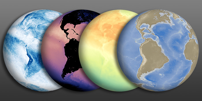
NASA Earth Observation (NEO)
NASA Earth Observations, or NEO, is a NASA Goddard platform for browsing and downloading global satellite imagery that illustrates climate and environmental conditions across the atmosphere, land, oceans, energy, and li…
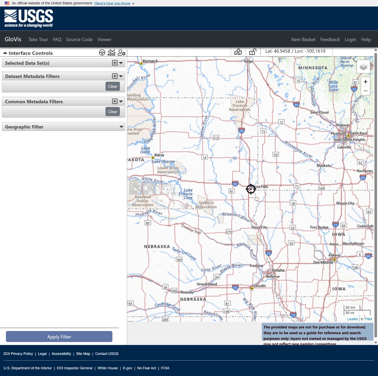
GLOVIS
GloVis, short for Global Visualization Viewer, is a USGS web-based tool for searching, previewing, and downloading remote sensing imagery and other Earth observation data from the agency’s archives. It is designed to he…
Disclaimer
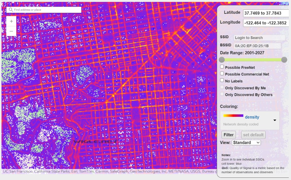
wigle.net
WiGLE is a crowdsourced wireless network mapping platform that collects and displays geolocated data about Wi‑Fi hotspots and cellular towers submitted by users, typically through wardriving or mobile scanning tools. In…
Disclaimer
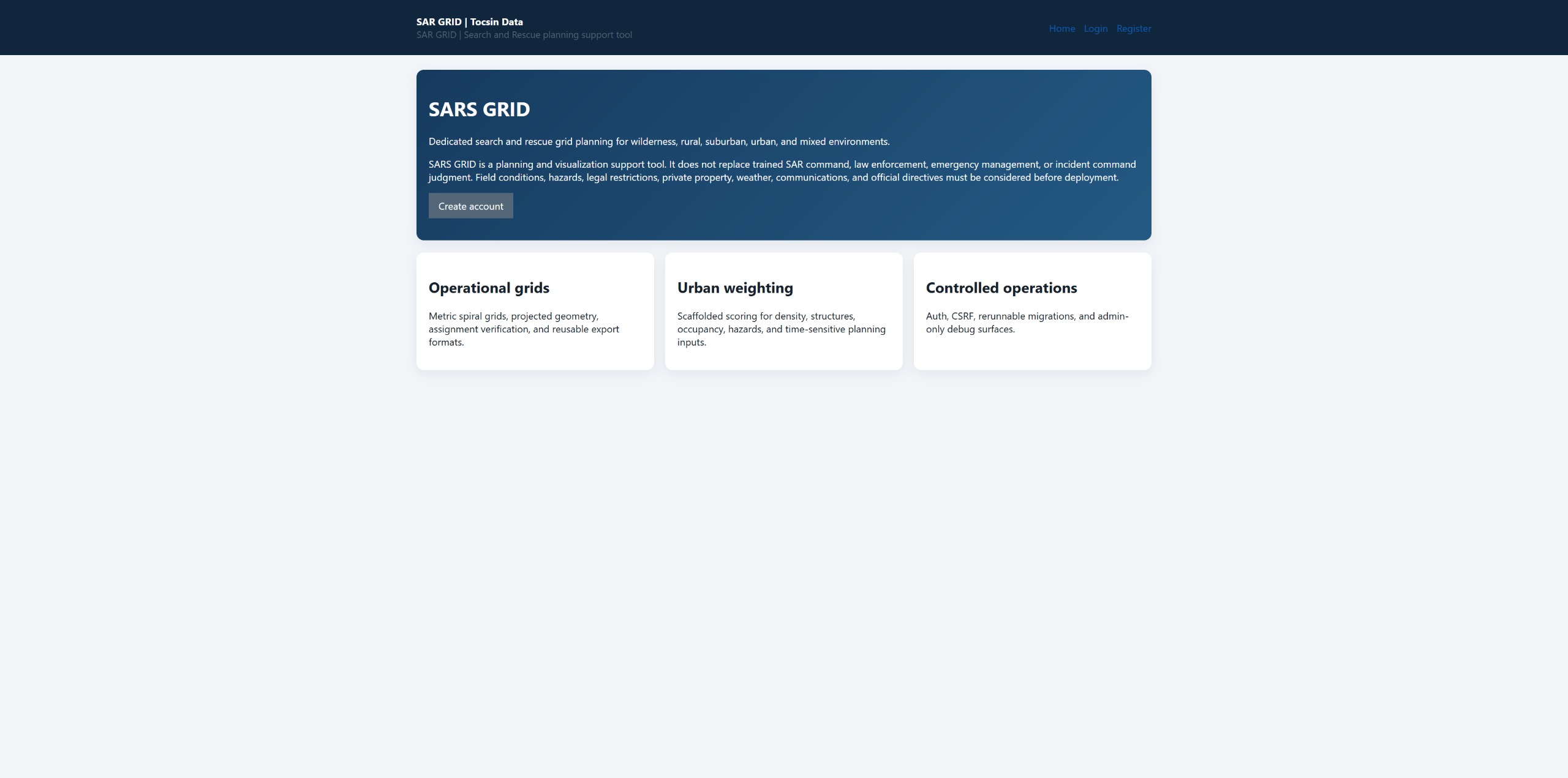
Search and Rescue Grid Generator
SARS GRID Project Description SARS GRID is a web-based Search and Rescue planning tool designed to help SAR coordinators create, visualize, assign, and print search grid areas for field teams. The system allows a user t…
Disclaimer
Disclaimer: The links that appear in this item may be associated/affiliated with Tocsin Data by contract, sponsorship, or via a client.
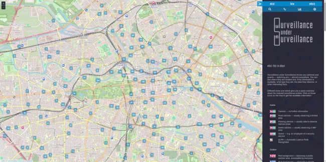
Surveillance under Surveillance
Surveillance under Surveillance is an open, interactive web map that visualizes physical surveillance infrastructure—including cameras, guards, and automatic license plate recognition (ALPR) systems—using crowd-sourced …
Disclaimer
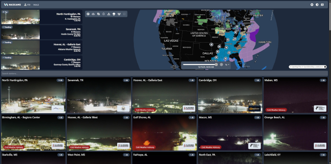
Hazard Cameras
Hazcams is a live incident and hazard-monitoring platform that aggregates real-time alerts, camera feeds, and situational reports related to public safety, emergencies, and hazardous events, providing rapid awareness fo…
Disclaimer
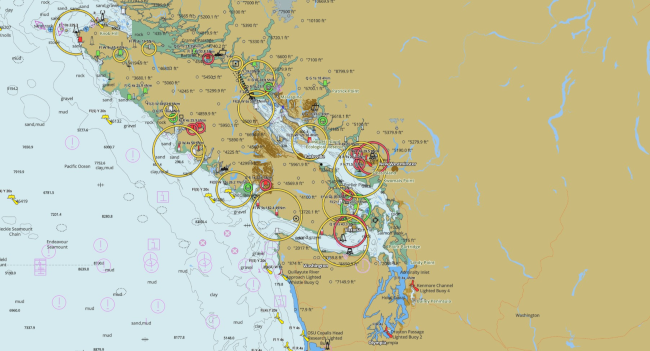
Marine Navigation
fishing-app.gpsnauticalcharts.com is a publicly accessible online chart viewer provided by GPS Nautical Charts. The service delivers interactive marine and inland-water mapping, including depth contours, bathymetry, and…
Disclaimer
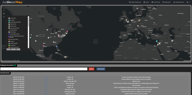
ActivistMap.com
The ActivistMap.com integration into the leading command center software platform, Visual Command Center, will provide GSOCs with global incident monitoring for protest and terrorist activities including anarchist actio…
Disclaimer
Disclaimer: The links that appear in this item may be associated/affiliated with Tocsin Data by contract, sponsorship, or via a client.
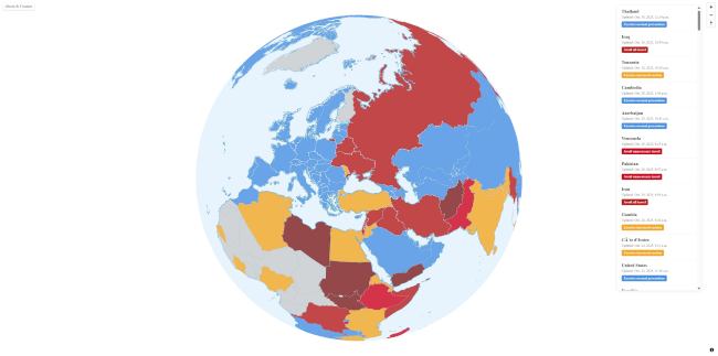
Travel Advisoy Map
I've been building a web app that colorizes countries based on their safety levels according to the travel advisories from Ministry for Foreign Affairs of Finland. https://travelmap.fi/ It uses MapLibre, PostGIS, Martin…
Disclaimer
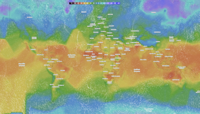
Worldweatheronline.com
Interactive world weather map by Worldweatheronline.com with temperature, precipitation, cloudiness, wind. Animated hourly and daily weather forecasts on map.
Disclaimer
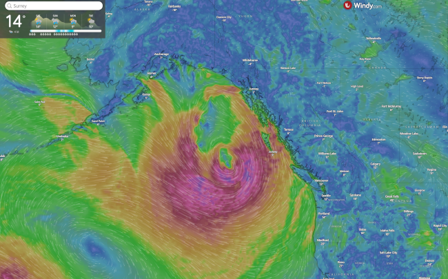
Windy Weather Map
Weather radar, wind and waves forecast for kiters, surfers, paragliders ... Worldwide animated weather map, with easy to use layers and precise spot forecast
Disclaimer
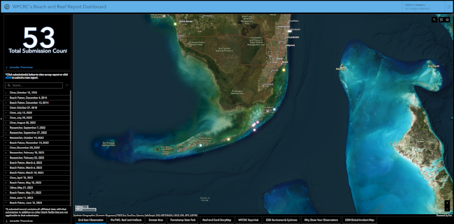
WFCRC's Beach and Reef Report Dashboard
The World Federation for Coral Reef Conservation (WFCRC) gladly presents the Collaborative Beach and Coral Reef Registry. The Registry, consisting of an ArcGIS Survey 123 and Dashboard, is a user-friendly and open-sourc…
Disclaimer
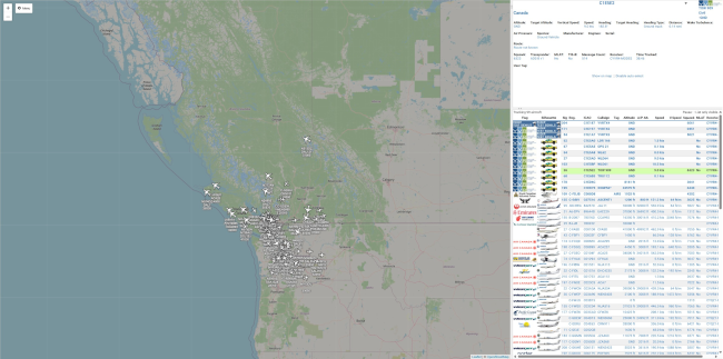
VirtualRadar by scanbc
ScanBC. ScanBC is British Columbia's online radio scanning community.
Disclaimer
VesselFinder
VesselFinder is a website that provides real-time information about ship movements and maritime traffic. Users can track the current positions of vessels, view historical data, and access various details about ships wor…
Disclaimer
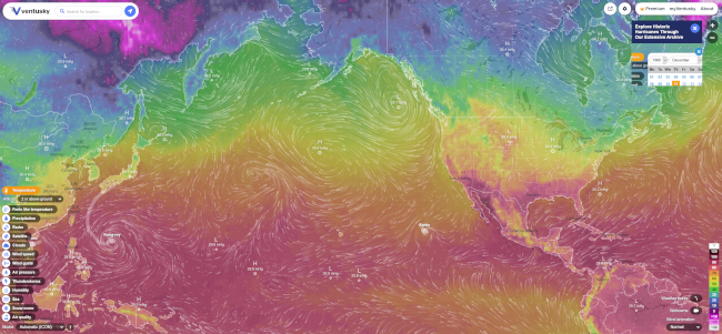
Ventusky Weather Map
Live wind, rain, radar or temperature maps, more than 50 weather layers, detailed forecast for your place, data from the best weather forecast models
Disclaimer
USA Gang Activity Map
This feature layer is United States in scope. This feature layer may contain any gang-related incident, shootings, threats, arrests, crimes, or other related activities. We may alter the content policy on this feed in t…
Disclaimer
Disclaimer: The links that appear in this item may be associated/affiliated with Tocsin Data by contract, sponsorship, or via a client.
Threats to Journalists
This feature layer is global in scope. This feature layer covers attacks against journalists, kidnapped journalists, certain arrests/jailed journalists, threatened journalists. The feature layer may include attacks agai…
Disclaimer
Disclaimer: The links that appear in this item may be associated/affiliated with Tocsin Data by contract, sponsorship, or via a client.
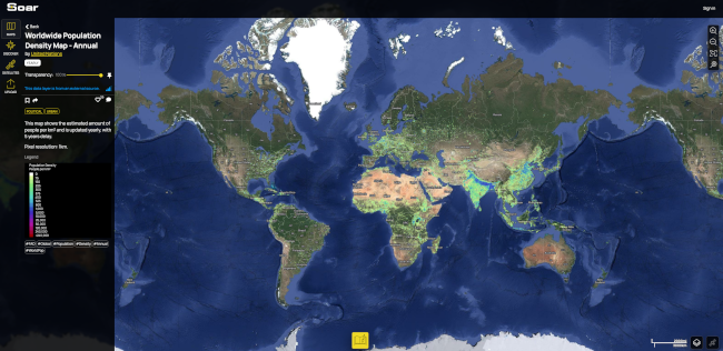
Soar Earth
Soar is the world's largest online atlas, and the home of maps on the internet. Our platform allows anyone in the world to view, upload, discover, and interact with an enormous library of high quality maps and images. W…