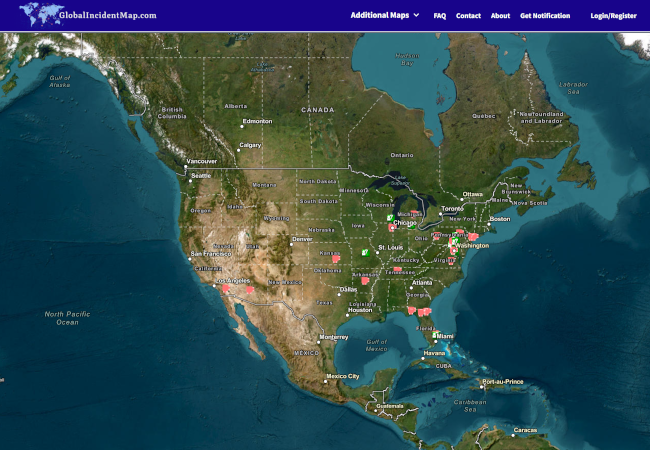
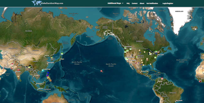
Public Data
These datasets support mapping, research, OSINT workflows, and public-safety analysis. Most are ready for ingestion into your dashboards or API workflows.
Information shown here may not always be accurate or up to date. Neither Tocsin Data nor the original data providers guarantee completeness, timeliness, or precision.
Public data sources may change, move, or be decommissioned at any time. If you notice a broken source, please let us know.
Marine Navigation
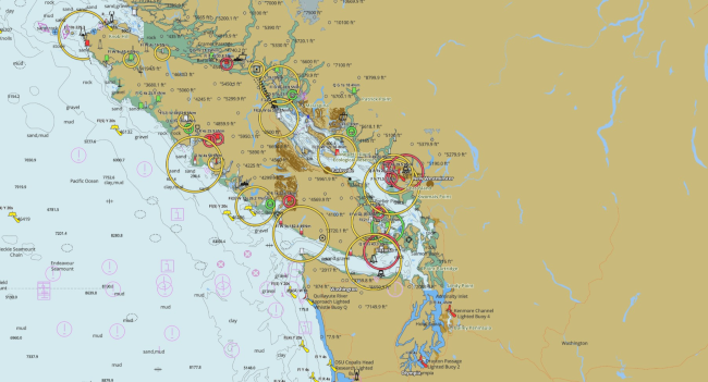
fishing-app.gpsnauticalcharts.com is a publicly accessible online chart viewer provided by GPS Nautical Charts. The service delivers interactive marine and inland-water mapping, including depth contours, bathymetry, and…
Disclaimer
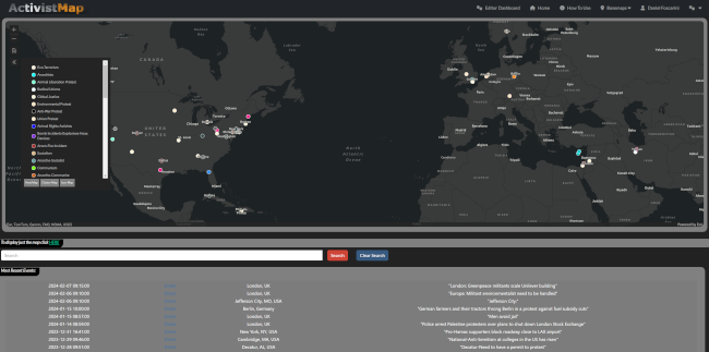
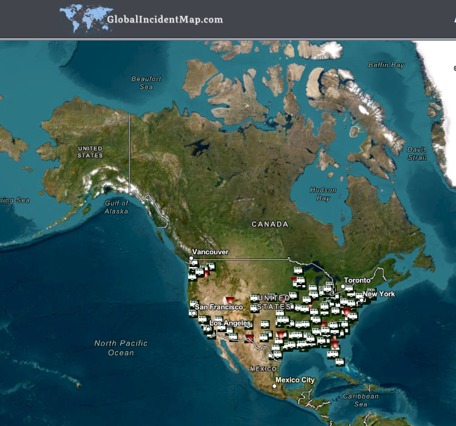
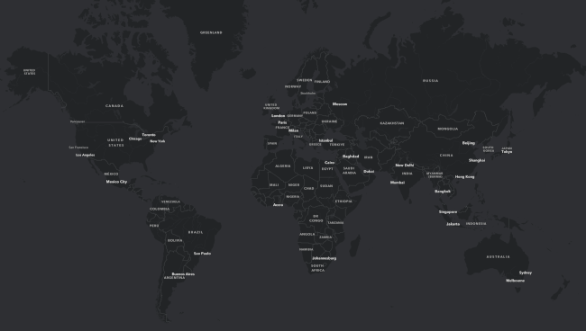
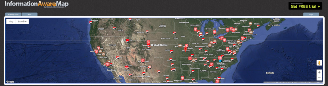
ActivistMap.com
The ActivistMap.com integration into the leading command center software platform, Visual Command Center, will provide GSOCs with global incident monitoring for protest and terrorist activities including anarchist actio…
Disclaimer
Disclaimer: The links that appear in this item may be associated/affiliated with Tocsin Data by contract, sponsorship, or via a client.
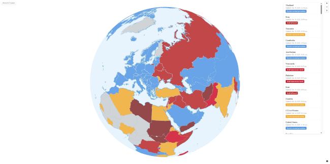
Travel Advisoy Map
I've been building a web app that colorizes countries based on their safety levels according to the travel advisories from Ministry for Foreign Affairs of Finland. https://travelmap.fi/ It uses MapLibre, PostGIS, Martin…
Disclaimer
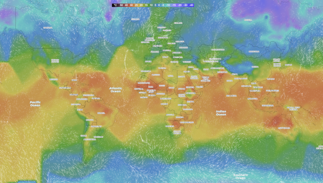
Worldweatheronline.com
Interactive world weather map by Worldweatheronline.com with temperature, precipitation, cloudiness, wind. Animated hourly and daily weather forecasts on map.
Disclaimer
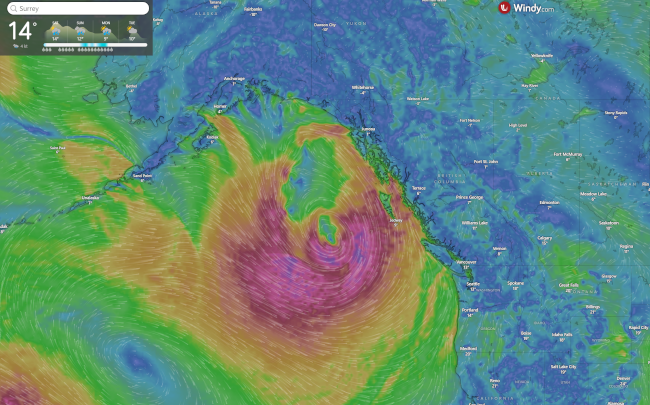
Windy Weather Map
Weather radar, wind and waves forecast for kiters, surfers, paragliders ... Worldwide animated weather map, with easy to use layers and precise spot forecast
Disclaimer
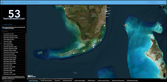
WFCRC's Beach and Reef Report Dashboard
The World Federation for Coral Reef Conservation (WFCRC) gladly presents the Collaborative Beach and Coral Reef Registry. The Registry, consisting of an ArcGIS Survey 123 and Dashboard, is a user-friendly and open-sourc…
Disclaimer
VirtualRadar by scanbc
ScanBC. ScanBC is British Columbia's online radio scanning community.
Disclaimer
VesselFinder
VesselFinder is a website that provides real-time information about ship movements and maritime traffic. Users can track the current positions of vessels, view historical data, and access various details about ships wor…
Disclaimer
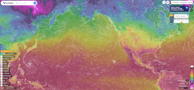
Ventusky Weather Map
Live wind, rain, radar or temperature maps, more than 50 weather layers, detailed forecast for your place, data from the best weather forecast models
Disclaimer
USA Gang Activity Map
This feature layer is United States in scope. This feature layer may contain any gang-related incident, shootings, threats, arrests, crimes, or other related activities. We may alter the content policy on this feed in t…
Disclaimer
Disclaimer: The links that appear in this item may be associated/affiliated with Tocsin Data by contract, sponsorship, or via a client.
Threats to Journalists
This feature layer is global in scope. This feature layer covers attacks against journalists, kidnapped journalists, certain arrests/jailed journalists, threatened journalists. The feature layer may include attacks agai…
Disclaimer
Disclaimer: The links that appear in this item may be associated/affiliated with Tocsin Data by contract, sponsorship, or via a client.
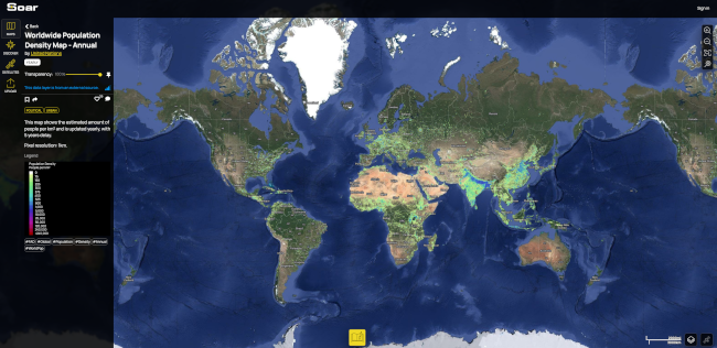
Soar Earth
Soar is the world's largest online atlas, and the home of maps on the internet. Our platform allows anyone in the world to view, upload, discover, and interact with an enormous library of high quality maps and images. W…
Disclaimer
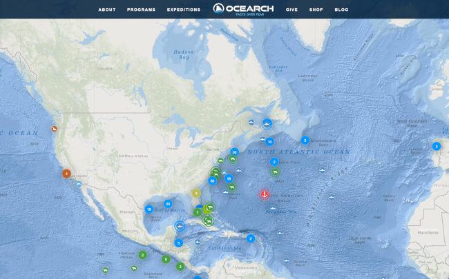
Shark Tracker
OCEARCH is a non-profit organization that focuses on the global tracking, research, and conservation of keystone marine species, particularly sharks. OCEARCH conducts expeditions to tag and track sharks, sea turtles, an…
Disclaimer
Disclaimer: The links that appear in this item may be associated/affiliated with Tocsin Data by contract, sponsorship, or via a client.
Self Defense Gun Use Map
This feature layer is USA in scope. This feature layer contains incidents where a firearm has been used in self defense.
Disclaimer
Disclaimer: The links that appear in this item may be associated/affiliated with Tocsin Data by contract, sponsorship, or via a client.
School Security
This feature layer is United States in scope. This feature layer contains security incidents at schools of any kind within the USA. This feed includes all types of facilities from pre-schools to grade schools, high-scho…
Disclaimer
Disclaimer: The links that appear in this item may be associated/affiliated with Tocsin Data by contract, sponsorship, or via a client.
Renewable Electricity
"InformationIsBeautiful.net" is a website that presents data and information through visually appealing and interactive infographics. It was created by David McCandless, a British data journalist, and author. The websit…
Disclaimer
Reject Hatred
Reject Hatred is an action intel monitoring service for media highlights in the hate crime theat alerts.
Disclaimer
Disclaimer: The links that appear in this item may be associated/affiliated with Tocsin Data by contract, sponsorship, or via a client.
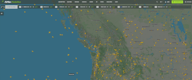
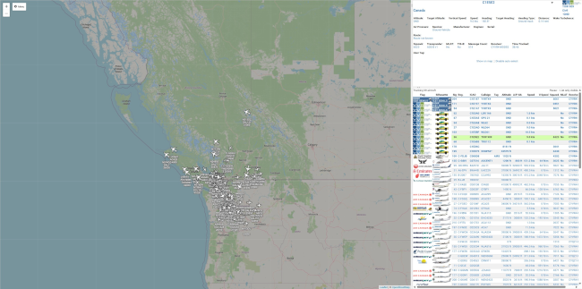
Radar Box
RadarBox is a flight tracking company that displays aircraft and flight information on a map in real time. RadarBox provides flight data such as latitude and longitude position, origin and destination, flight number, ai…
Disclaimer
Presidential Threats
A global display of incidents against the Presidency and The White House
Disclaimer
Disclaimer: The links that appear in this item may be associated/affiliated with Tocsin Data by contract, sponsorship, or via a client.
Officer Safety Incident Map
This feature layer is United States in Scope. This feature layer includes incidents where law enforcement of any kind are threatened, harmed, or killed in the line of duty. It could include vehicle accidents, shootings,…
Disclaimer
Disclaimer: The links that appear in this item may be associated/affiliated with Tocsin Data by contract, sponsorship, or via a client.
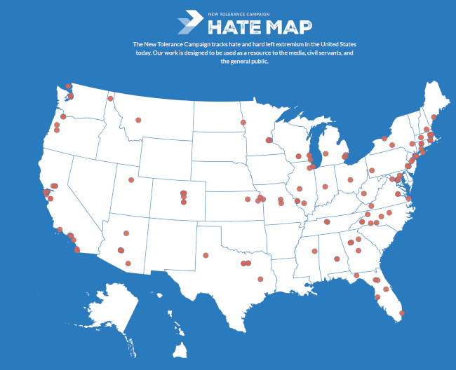
NTC Hate Map
The New Tolerance Campaign tracks hate and hard left extremism in the United States today. Our work is designed to be used as a resource to the media, civil servants, and the general public.
Disclaimer
Murder for Hire
This feature layer is United States in scope. This feature layer may include any item deemed related to murders for hire – and may include arrests and court cases.
Disclaimer
Disclaimer: The links that appear in this item may be associated/affiliated with Tocsin Data by contract, sponsorship, or via a client.
Mineral Resources Data System usgs.gov
A collection of mineral resource reports worldwide. In this map interface, records are separated by completeness, consistency, and quality of reference sources. Records are graded A through E with A indicating most comp…